Mathematical Imaging and Geophysics Group
Develop advanced mathematical imaging tools to investigate the Earth’s interior
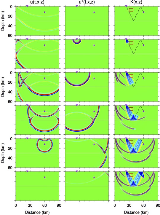
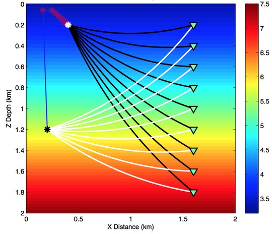
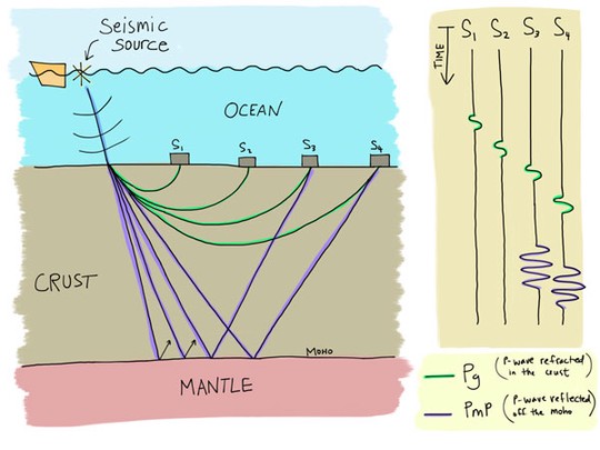
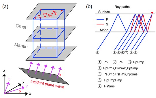
Mathematical Imaging and Geophysics Group (MIG) is primarily focused on developing advanced mathematical tools to better image the interior of the Earth at a variety of scales, namely, from the global map of the crust and mantle to the detailed subsurface structure of a hydrocarbon/geothermal reservoir. Through developing novel mathematical modelling tools and the state-of-the-art seismic imaging technology, analyzing the full waveform contents of high-quality seismic data, and relying on high performance computing, we aim to gain insight into the geodynamic processes of the Earth’s interior and provide advanced methods to solve realistic problems faced by modern oil-and-gas Exploration/Production companies and contractors.
News
-
December 20, 2021: LIU Yongsheng passed his PhD thesis defense. Congratulations.
Research
Softwares
Those softwares are still under development and to be released soon. Please feel free to request for them, improve the codes, and send your feedback!
*Featured Publications
Contact
- tongping@ntu.edu.sg
- +65-6513 7457
- 21 Nanyang Link, Singapore, 637371


